
- Homepage
- Binding
- Era
- Features
- Height
- Length
- Type
- Complete Story (30)
- Cover (9)
- Dessin (514)
- Dessin Original (8)
- Dessin Ou Esquisse (23)
- Drawing (293)
- Drawing Or Sketch (176)
- Encre (4)
- Execution Drawing (14)
- Gravure (35)
- Histoire Complète (9)
- Ink (588)
- Inner Page (4)
- Interior Page (6)
- Lithographie (4)
- Livre D'artiste (12)
- Press Drawing (4)
- Standard (5)
- Tb état (4)
- Véhicule (12)
- Other (2672)
Instructions on Topographic Surveying and the Drawing of Plans. Plates. 1860
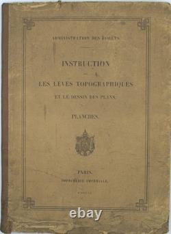
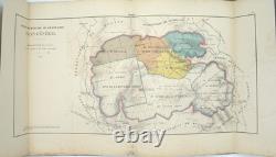


Instructions on Topographic Surveying and the Drawing of Plans. Large folio, complete atlas of 25 plates. Publisher’s half-cloth binding with the title on the front board (soiled, with lifting paper); water staining along the lower edge. An atlas accompanying the official instructions issued by the Forestry Administration to standardize the surveying and topographic mapping methods used by its officers.
Complete with all 25 plates covering surveying operations and the plotting and drawing of forest plans, including the use of standardized symbols and colors.